UGEB2132B Earth as Seen From Space
Time
Lecture: Mondays 02:30 p.m. - 04:15 p.m.
Instructor
Dr. WONG Kwan Kit
Course Description
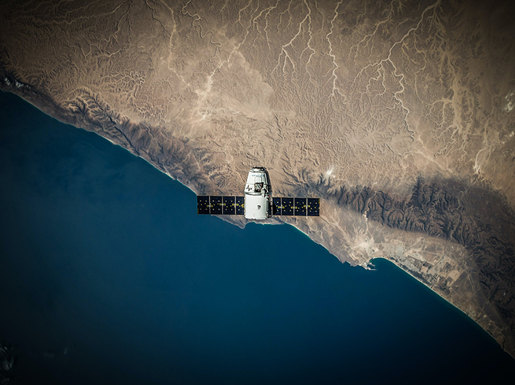
Climate change, sea level rise, deforestation, forest fire, severe typhoon, glacier melt, agricultural loss, overpopulation, etc. are terms that you might have heard of. And they are also real and hot crises affecting the sustainability of human beings. How do we know these are all happening? In fact, our earth is being overseen from space every day. One good example is Google Earth that takes us any part of the globe anytime and anywhere using fingertips. Have you wondered where do these images come from? How these images are captured? How can images be used to understand the happening on our earth? Most of these images are captured by giant machines hovering in space known as satellites. “Remote sensing” is the process to collect images from the space or in the air, which is one of the key tools in the regime of spatial information technology. Important information are extracted from these images to gain better understanding of status quo and be more sustainable and responsible to our home – Earth.
This course allows students to acquire basic knowledge of remote sensing and to understand how the technology is used to the study and monitor of our earth. The course is divided into two parts. The first part elucidates the basic concept of remote sensing as well as the skills in extracting information from images. The second part unveils the applications of remote sensing images to crucial sustainability issues such as urban development, agriculture, forest management, natural disaster, climate change, etc. These applications connect with three Sustainable Development Goals including #11 (sustainable cities and community), #13 (climate action) and #15 (life on land) set by the United Nations in 2015. Loads of remotely-sensed images are used to illustrate the natural process and human activities that alter the earth surface and to explore the issue of sustainability. Together with hands-on work in tutorials and interactive class activity, students would be aware of how this novel technology is exploring the future of human beings.
Learning Outcome
- Have basic understanding of remote sensing technology.
- Acquire preliminary skills of image interpretation.
- Understand the local, regional and global applications of remote sensing that link with sustainability.
- Acknowledge the impact of the spatial information technology on the society and in daily life.
Sustainable Development Goals